
Clifton Park Neighbors by Block
Official records can describe the immediate parcels around one Clifton Park address, but each source has a narrow role. The GIS view supplies parcel geometry and nearby boundaries. The assessment record names an owner of record and tax mailing address. Civic layers show community geography, not a list of households. Start with the smallest useful block and keep the SBL with each result, because a street name, a subdivision label, and a postal label can point to the same area in different ways.
| Source | What It Shows About a Block | Access |
|---|---|---|
| Saratoga County Map Viewer | Adjacent parcels, roads, parcel labels, and civic boundary layers | Free interactive viewer |
| GAR PROS assessment search | Owner of record, mailing address, situs, SBL, and property details | Free county property portal |
| GIS district layers | School, fire, EMS, polling, election, town, and village context | Scale-dependent map layers |
| New York voter lookup | An individual's own registration or polling information | Registered-voter service, not a block list |
| Town park-district committees | Named neighborhood and community geography | Official meetings and committee information |
| Historic and cemetery layers | Historic place, cemetery, and preservation context | Town commission map, not a household directory |
Property ownership is not the same as residency. A mailing address may be a post office box, another residence, a trust, an estate, or a management address. The map and assessment roll help confirm a parcel, not everyone who may be part of a household. That distinction keeps a Clifton Park neighbors search tied to what public records actually show.
Clifton Park Parcel Neighbors
The GAR PROS property search is the confirmation step for an adjacent parcel. It accepts street address, SBL or tax map number, owner name, Street Finder, and municipality. A detail card can show the property location, current owner, owner mailing fields, prior owner, deed date and book or page, map references, and a GIS link. SBL means section-block-lot, the government parcel identifier that helps separate two similar addresses.
Use the property location as the physical parcel clue and the mailing address as a tax-correspondence clue. Do not treat either owner field as proof that a person lives there. A property can have multiple owners, an LLC, a trust, or blank unit details. When the goal changes from the immediate block to every parcel along a named road, the Clifton Park street directory route follows the fuller street-by-street record chain.
Clifton Park GIS Block Method
The adjacent-parcel method stays within the immediate block. Open the target address in the Saratoga County Map Viewer, or choose View Property on GIS Map from a PROS result. Zoom until parcel polygons and labels draw. Then identify the target parcel and click neighboring polygons one at a time. The map help documents address, owner, and parcel-ID searches, partial-string behavior, and searches limited to the visible map extent. It does not document a dedicated public radius or buffer tool.
- Find the target address or open its PROS GIS link, then zoom to the individual parcel polygons.
- Use Identify or click the target parcel, then each adjoining polygon around the same street segment.
- Record the neighboring SBL, displayed address or owner result, and the road or boundary separating each parcel.
- Run each SBL or address in GAR PROS to confirm the parcel and owner-of-record fields.
- Keep the result set to adjacent lots, not an assumed distance circle that the viewer does not document.
This process is a record trail: address to parcel, parcel to SBL, SBL to assessment confirmation. It is more reliable than relying on a broad street-name search.
Clifton Park Parcel Layers 2010-2026
The County's map service makes the block more readable than a single address card. Its current and historical parcel layers run from 2010 through 2026. Other documented layers include streets, towns and villages, school districts, fire districts, EMS districts, polling sites, election districts, agricultural districts, and regional boundaries. Parcels and aerials are scale-dependent, so a layer may not draw until the map is close enough.
These layers explain a common Clifton Park neighbors puzzle: adjacent homes can share a road while carrying different school, fire, election, postal, or subdivision context. The layers are geographic evidence, not proof of a household connection. For a property that crosses a line or has changed shape, save the SBL and compare the current parcel with the appropriate historical layer before drawing a conclusion.
Note: The 2010 through 2026 parcel sequence is useful for comparing mapped context, but it does not create a verified residential history.
Clifton Park Voter Lookup Limits
The New York voter lookup confirms an individual's own status, poll site, or mail-ballot information when its registered-voter inputs are supplied. It is not a public list of Clifton Park neighbors. The public form uses county, last name, first name, date of birth, ZIP Code, and address information. Election-district layers on the GIS map can show civic geography, but an election-district boundary is not a roster of every registered person within it.
| Voter lookup field | Use |
|---|---|
| County | Select Saratoga County |
| Last Name and First Name | Use the registration spelling for the individual being checked |
| Date of Birth | Required in MM/DD/YYYY format |
| ZIP Code and address information | Provide the registered-address details requested by the service |
Requests for full voter data require the elections-purpose statement specified by Election Law §3-103(5). The Board of Elections describes ASCII comma-delimited delivery for voter files and a default $0.25-per-page copy charge where applicable. Confidential registration under Election Law §5-508 keeps accepted records separate from public inspection and copying for four years. Those limits apply even when an address seems close to the parcel being reviewed.
Clifton Park Park District Geography
Clifton Park's Town-published park-district advisory committees offer a specific layer of community geography. They help interpret a subdivision or park-district label that appears near a parcel. They do not publish a resident roster or membership list. The Town says residents in those districts pay a small annual levy and that each advisory committee handles local park maintenance and decisions. Some listings provide meeting, chair, or contact information, which should be used to understand civic organization, not to identify households.
Addison Estates, Meadow Estates, and Calico Colony
Official public route: Town park-district committee listing.
Use: local geographic and advisory-committee context.
Clifton Gardens and Clifton Knolls Mill Creek
Official public route: Town meeting and committee information.
Use: identifies the relevant park-district organization.
Dwaaskill, Longkill #1, Longkill #2, and Riverview #1
Official public route: Town park-district committee listing.
Use: subdivision and civic-geography clues.
Settler's Hill, Sherwood Forest, Stony Creek #1, Stoney Creek #2, and Wyncrest
Official public route: Town committee listing.
Use: connects a named area to public park-district context.
The Town's park-district and committee listing is the source for these named areas and public routes.
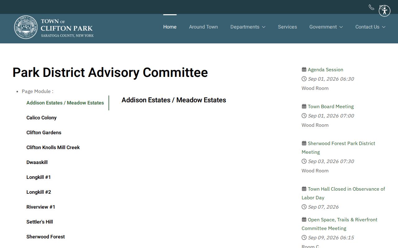
Named districts can narrow a block's civic context without turning an advisory committee into a private household list.
Clifton Park Permit Address Records
Citizenserve is an address-linked source for planning, subdivision, site-plan, lot-line, and special-use activity. The Town says users can register, choose an application, upload documents, pay fees, track review status, communicate with staff, schedule inspections, register or renew as a contractor, and monitor code-enforcement activity. Each Planning Board appearance requires a new permit application, including a continuation. Registration is required for the application process.
Official material exposes application types and account functions, but a confirmed public address-search screen was not located. Do not assume that a name or street search is open to the public. When a needed record does not appear in the portal, use a written FOIL request with the address, application number if known, project type, approximate year, and desired record format. The Town's 2026 update also warns that it does not request planning or zoning approval fees by wire transfer.
Clifton Park's planning portal information describes the Citizenserve application and tracking route.
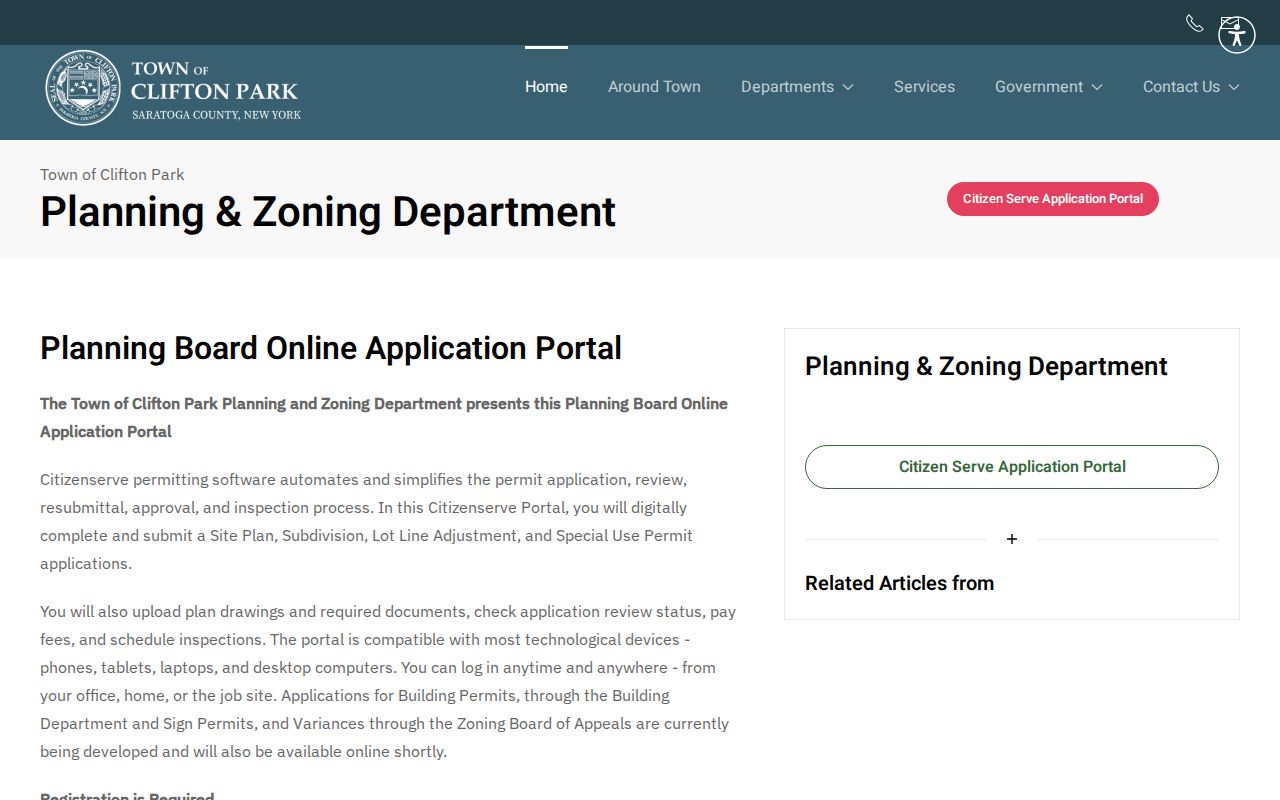
A permit or planning record can add an address timeline, but it cannot establish who lives at that address.
Clifton Park Historic Block Clues
The Town Historic Preservation Commission was created in 1992. It determines eligibility for the Clifton Park Register of Historic Places and oversees cemetery maintenance and mapping. Its interactive historic-places map can add cemetery and historic-marker layers. Near an older property, those layers can connect a structure, a cemetery, or a preservation application to a date and place. They are not a directory of current or former households.
For historical neighbor research, use the map clue with an independent source. The Saratoga County Historian's cemetery spreadsheets, census and state-census material, and library records can provide historical names or household context. Confirm the town and cemetery because a countywide surname match may include people from adjoining towns. That check prevents a nearby marker from becoming an unsupported residential claim.
The Historic Preservation Commission's public information explains the historic-place and cemetery map context.
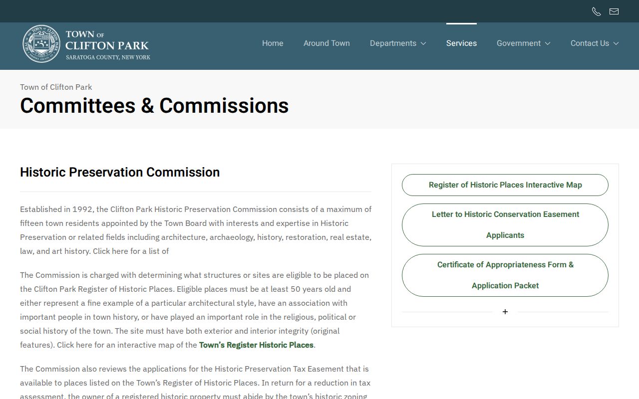
Historic and cemetery layers add place-based context to a block without identifying the people in a present-day household.
Map Clifton Park Block Owners
After identifying adjacent parcels, confirm the result in GAR PROS before using the owner name as a research lead. Compare the address, SBL, owner field, situs, tax mailing field, and map reference. If the parcel is part of a subdivision, preserve the lot or survey information too. That comparison prevents a neighbor search from confusing a nearby road address, a lot-line adjustment, or a parcel split with the target parcel.
| Official record route | Strength | Limit |
|---|---|---|
| GIS plus GAR PROS | Shows a mapped parcel and owner-of-record confirmation | Does not prove occupancy or household composition |
| Town or county civic layers | Explains school, fire, EMS, election, or district context | Does not list every neighbor |
| Unnamed commercial neighbor tools | May offer broad address hints | Can be stale, wrong, or overinclusive and cannot defeat ACP protections |
Official records provide a clearer chain from address to parcel to owner of record. A broad commercial category should never override the mapped parcel, a custodian's record, or an address-safety protection.
Clifton Park Neighbor Privacy Limits
What remains private is part of an accurate Clifton Park neighbors search. Public parcel records do not supply a complete list of household members, renter names, utility accounts, delivery records, or nonpublic DMV data. New York's Address Confidentiality Program provides a substitute address for qualifying participants and does not invite attempts to uncover their physical location. Confidential voter registration is likewise excluded from public inspection and copying under Election Law §5-508.
New York Freedom of Information Law (FOIL), New York Public Officers Law Article 6, §§84–90, reaches existing non-exempt agency records, not new block reports or confidential material. A written request should reasonably describe the document, address, date range, custodian, and preferred format. Under §89(3)(a), the agency has five business days to release, deny in writing, or acknowledge the request with a reasonable approximate date. Saratoga County states a default $0.25 fee for copies up to 9 by 14 inches unless another law sets a different fee.
Lawful use. Clifton Park neighbors information is for personal, lawful research and civic context. Never use a block record to stalk, harass, threaten, or harm anyone.